![]()
![]()
It was only at the age of the Franks when the sovereigns did start to banish the unowned forests and trails and declare them as royal property (regalia). Those forests, which had often been transferred to vassals as a domain, had been changed into “crown forests” (belonging to the crowned). Later these woods became “domanial forests” (forests belonging to the sovereigns before the French Revolution). The Grünewald is the largest old crown forest in Luxembourg.
The Grünewald as a ban forest
 The transmission of the utilisation rights over the “Anven” forest had already been mentioned on a document dated 1083. Later the Grünewald had been cited in the Charta of Freedom, given by the countess Ermesinde II (1186–1247) to the Town of Luxembourg in 1244. It was mentioned in relation with the dispositions concerning the right of timber and pasture for the citizens and the shooting right for the countess, who banished some parts of the Grünewald.
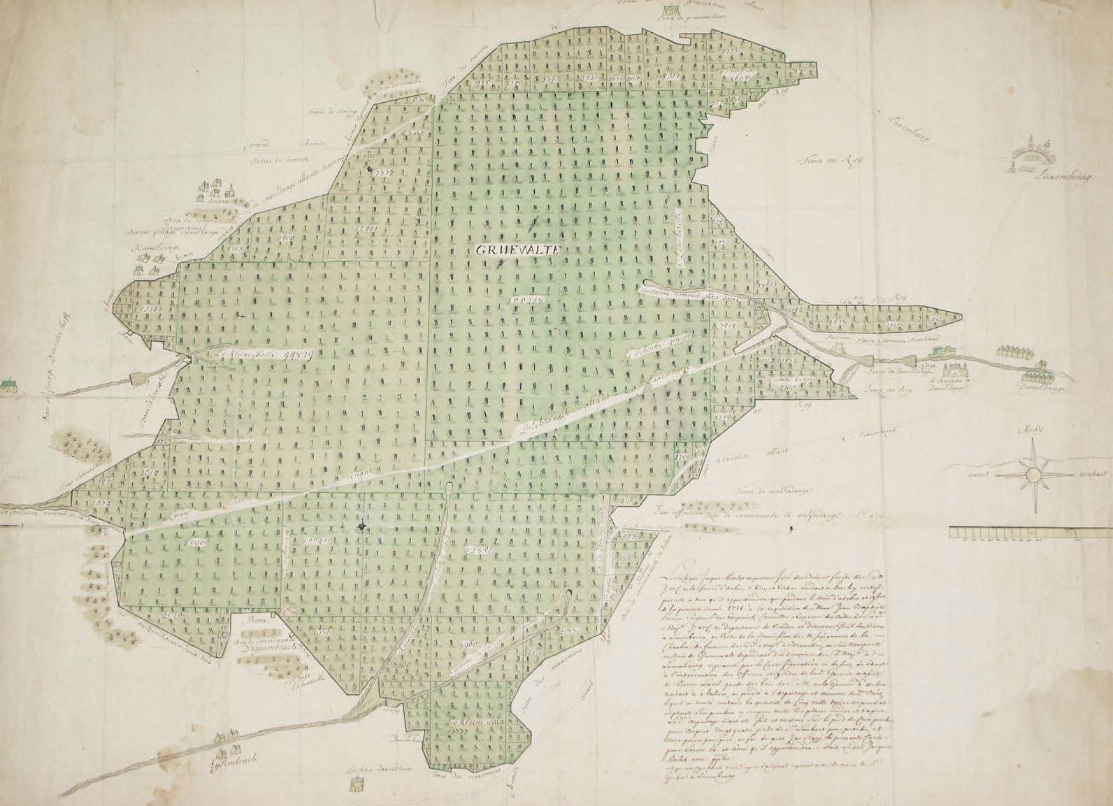
During the eventful past of the Grand-Duchy, the Grünewald had been under the influence of many different rulers (Habsburg House, Dutch Habsburg, Spanish Dutch, France, Austrian Dutch). At these times several “forest regulations” were issued which did not only concern the forest supervision or forest outrage but also its farming. With reference to the nearly 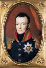 devastated situation of the Grünewald, it was ordered in 1535 to set up a geographical map and divide the forest into different sections.
William I (1815–1840) of the Orange-Nassau House sold by auction major parts of the Grünewald. His successor William II (1840–1849) bought back big parts of the Grünewald.
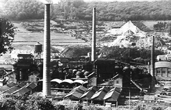
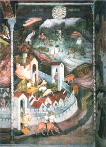
The iron factory of Dommeldange around 1930: in the background you can see the Grünewald. During centuries an important quantity of timber had been used for industrial purpose and the forest had been striped of wood.
Domanial Forest
Timber supply of a medieval town
With the annexation of the country by the French Revolution troops (1794/95), Luxembourg had become a part of France for a period of 20 years and was called: Forest Department. The major purpose of the Grünewald had been to supply the Luxembourg fortress with firewood.
At the Vienna Congress in 1815, when the European territory had been rearranged, the Grünewald was declared a “domanial Forest”.
In order to get funds to pay the war debts, they did not hesitate to sell by auction those domains belonging to the State. So the Grünewald had been gradually sold, under the reign of the first Grand-Duke William I, head of the new Luxembourg State.
In total the Grünewald represented until then a surface of 2554 ha and the last unsold part (679.1) should also have been sold by auction, as the ordinary national income was insufficient to develop a strong and up-to-date road and train net. However the bid was not high enough and on the 12th of February 1848 William I decided to buy him the remaining forest. In the frame of the new forest management policy the State began, at the beginning of the 20th century to buy back gradually those parts of the Grünewald that belonged until then to the sovereign. Of the today 4500 ha total surface, 3500 ha belong to the Luxembourg State and only 1000 ha to the Grand-duke.
The Grünewald nowadays
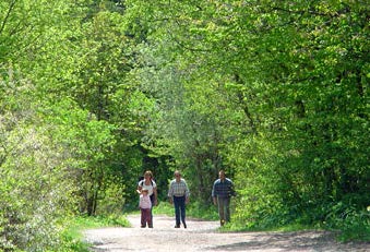
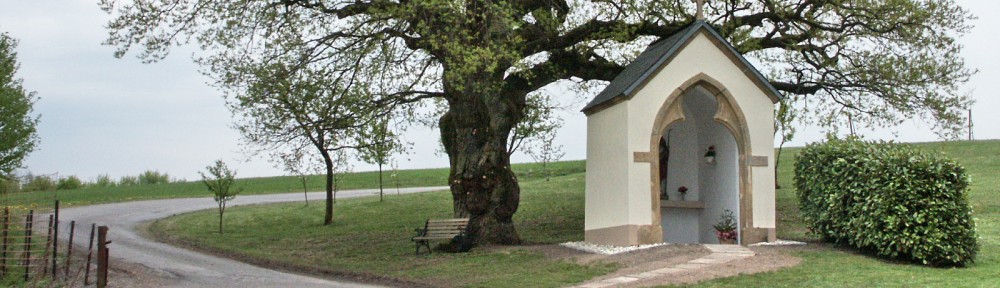
The Grünewald, nowadays: it can be seen as the green “lung” of Luxembourg City, a site of leisure and an important biotope.
The Grünewald represents today the largest coherent national forest and besides its forest, ecological (biotope), agricultural and picturesque quality it represents a very precious national piece of culture and history. With reference to this truth the major parts of the Grünewald were declared national monument by a ministerial decision on 29 of April 1966.
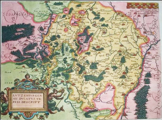
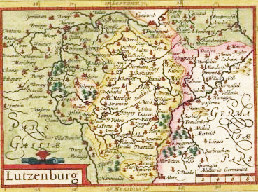
Historical maps of the Grünewald
 |
 |
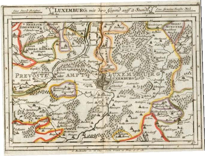
| Luxemburg 1581 | Luxembourg 1616 at the time of the first Spanish domination |
 |
 |
| Luxembourg 1616 at the time of the second Spanish domination |
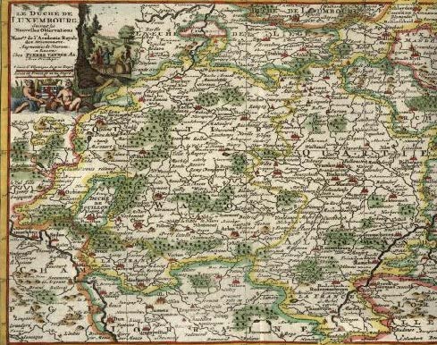
Luxemburg in 1717 at the time of the Austrian domination |
 |
 |
| Detailed map of the Grünewald in the year 1721 |
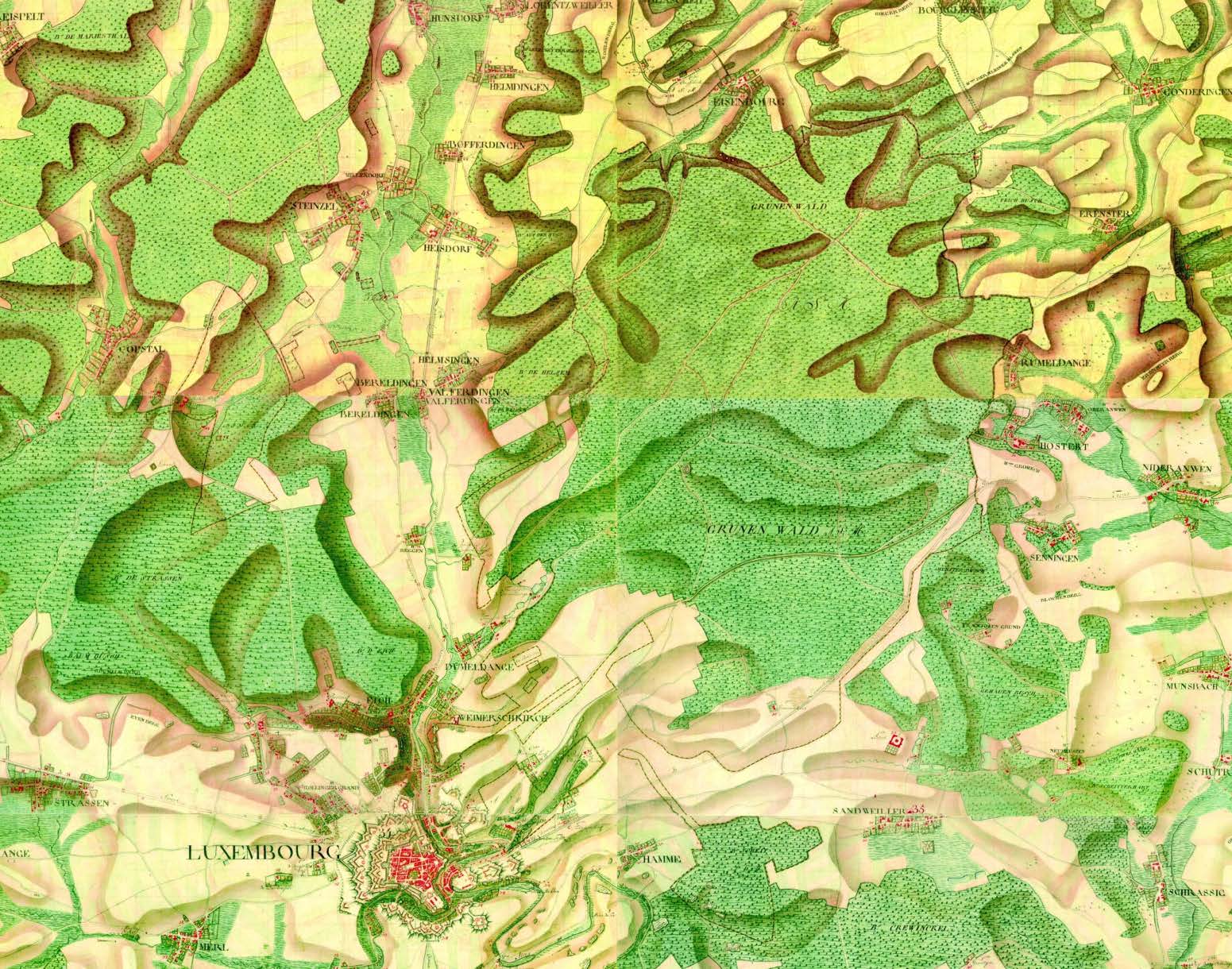
The Grünewald on the Ferraris map from half of the 18th century |
![]()
![]()